River Place & St. Lucie North waterfront planning
Plan seawall and lake bank work in River Place and St. Lucie North: upper North Fork floodplains, CDD lakes, sewer projects and Port St. Lucie permits.
Describe your project on this page ↓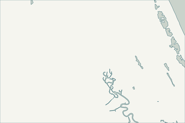
Get to know your waterfront
River Place on the St. Lucie is a community development district created by city ordinance in 2000 on the upper North Fork, inside the St. Lucie North neighborhood. The upper river here is narrower and fresher, with floodplain swamp and natural banks, and the community’s internal lakes are a separate stormwater system.
St. Lucie County Community Development Districts layer · Port St. Lucie Subdivisions layer · North Fork, St. Lucie Aquatic Preserve
Floodplain edges and water quality
Much of the upper riverbank is natural and preserve-adjacent, so hardening is difficult; vegetative stabilization is often the realistic path. A 2021 city funding request said 4,575 septic systems lie within 50 feet of a water body draining to the North Fork, part of why water quality drives local projects.
Check the flood zone and whether any shoreline structure sits on common property before planning work. Local Funding Initiative Request FY2021-22 #1952: Port St. Lucie Septic to Sewer Conversion Program · Flood Mitigation & Insurance
What could the work cost?
For lake banks, the district’s budget and permit control the work; for river frontage, include preserve and floodplain review in the schedule.
Published examples are attributed context from Treasure Coast and nearby South Florida sources, not a Port St. Lucie average or a quote. Your wall needs a property-specific written scope.
Compare quotes and plan a budget →Find the relevant permits and records
| Starting point | What to resolve | Prepare and look up |
|---|---|---|
Port St. Lucie Building Department | City permit for the seawall (permit type SWL), dock (DK) or boat lift (BL). | Sealed plans, plot plan with setbacks and Notice of Commencement for work of $5,000 or more. 772-871-5132. |
FDEP, Army Corps and SFWMD | State exemption or permit, federal authorization and water-management approval the city asks to see. | Show the new wall face relative to the old one (18-inch rule). FDEP Southeast District: 561-681-6600. |
Association or community development district | Lake tract ownership, lake-bank maintenance and architectural approval. | Plat, declaration and the SFWMD permit for the community stormwater system. |
A River Place checklist
Use these steps to gather records and prepare a property-specific conversation. Public records and project references do not describe the condition of your wall.
Pull the permit history
Search the address on the city or county permit portal for seawall, dock and lift permits and their final inspections before the first site visit.
Confirm the flood zone
Building or moving earth in the high-risk flood zone needs a city permit.
Identify common tracts
Check whether the bank is a district tract before any work.
Consider living shoreline options
On natural banks, planted shorelines are more likely to be permitted than new walls.
Get help with your River Place & St. Lucie North seawall
Tell us what has changed and how to reach you. We’ll help you work out the next step; photos and measurements can follow later.
River Place & St. Lucie North project questions
Can I build a seawall on the upper North Fork?
New vertical walls on natural estuary shorelines are allowed only in narrow cases; ask FDEP early.
Florida Statutes s. 373.414 - Additional criteria for activities in surface waters and wetlands
Who handles lake erosion in River Place?
Typically the community development district; confirm with the district office.
Keep planning
Nearby waterfront guides
Show sourcesHide sources
- St. Lucie County Community Development Districts layerSource reviewed 2026-10-25
- Port St. Lucie Subdivisions layerSource reviewed 2026-10-25
- North Fork, St. Lucie Aquatic PreserveSource reviewed 2026-10-25
- Local Funding Initiative Request FY2021-22 #1952: Port St. Lucie Septic to Sewer Conversion ProgramSource reviewed 2026-10-25
- Flood Mitigation & InsuranceSource reviewed 2026-10-25
- Building DepartmentSource reviewed 2026-10-25
- Permit Type Codes (permittypebytypecode.pdf)Source reviewed 2026-10-25
- Building Department Checklist for Dock PermitsSource reviewed 2026-10-25
- Florida Statutes s. 403.813 - Permits issued at district centers; exceptionsSource reviewed 2026-10-25
- Southeast DistrictSource reviewed 2026-10-25
- Agreement to Rebate Stormwater Assessments and Provide for Maintenance of Stormwater Management System for Riverland CommunitiesSource reviewed 2026-10-25
- Fla. Admin. Code R. 62-330.051 - Exempt ActivitiesSource reviewed 2026-10-25
- Florida Statutes s. 373.414 - Additional criteria for activities in surface waters and wetlandsSource reviewed 2026-10-25