Elkcam Waterway & Floresta seawall planning
Seawalls and bulkheads on Elkcam Waterway in Floresta Gardens and Bayshore Heights, Port St. Lucie: dredging history, control structures and permits.
Describe your project on this page ↓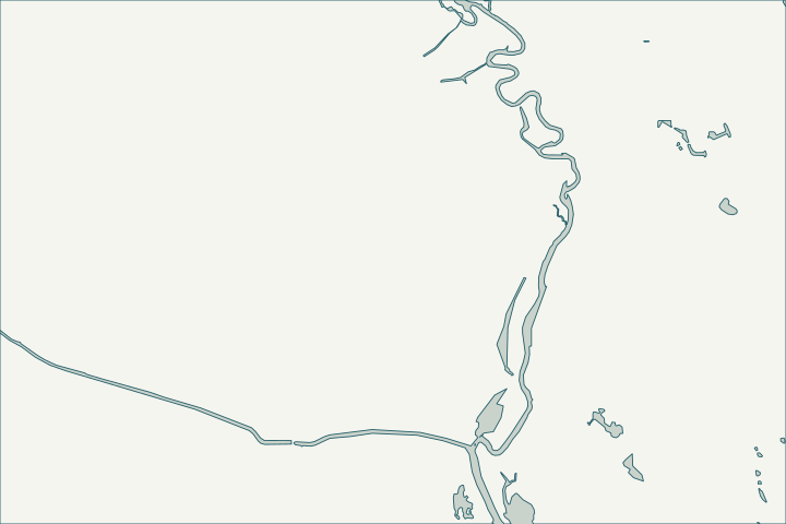
Get to know your waterfront
Elkcam Waterway is a named Port St. Lucie waterway. In the city’s GIS it runs mainly through the Floresta Gardens and Bayshore Heights neighborhoods, with segments in Riverview and the Bayshore Business District. Its lower reach is on the city’s list of tidal ocean access waterways connected to the North Fork.
Port St. Lucie Drainage: Canals layer · Ocean Access Waterways – Public Works Department (Waterway Maintenance Presentation)
Water levels and the Elkcam structure
Elkcam was one of eight waterways the city dredged in 2010 to −5 feet mean low water in the center 25 feet. The 2021 five-year plan listed Elkcam for design only, and Public Works’ FY 2026/27 plan includes designing a new Elkcam water control structure.
Because a control structure manages levels upstream, walls on different reaches may see very different water. Ask the inspector to note the water level and the date, and to check weep holes and the toe at the lowest water you can observe. Ocean Access Waterways – Public Works Department · Dredging of Ocean Access Waterways – Public Works Department (Waterway Maintenance – Updated 10-18-21) · Public Works Department Stormwater Overview FY 2026/27
What could the work cost?
Ask whether the price assumes work from the yard or from the water, and how the work fits the waterway width; docks on canal lots may extend only 5 feet.
Published examples are attributed context from Treasure Coast and nearby South Florida sources, not a Port St. Lucie average or a quote. Your wall needs a property-specific written scope.
Compare quotes and plan a budget →Find the relevant permits and records
| Starting point | What to resolve | Prepare and look up |
|---|---|---|
Port St. Lucie Building Department | City permit for the seawall (permit type SWL), dock (DK) or boat lift (BL). | Sealed plans, plot plan with setbacks and Notice of Commencement for work of $5,000 or more. 772-871-5132. |
FDEP, Army Corps and SFWMD | State exemption or permit, federal authorization and water-management approval the city asks to see. | Show the new wall face relative to the old one (18-inch rule). FDEP Southeast District: 561-681-6600. |
Port St. Lucie Public Works | City waterway easements, storm outfalls and encroachment permits. | Signed and sealed survey for a revocable encroachment permit ($125 plus recording). 772-871-5100. |
An Elkcam Waterway checklist
Use these steps to gather records and prepare a property-specific conversation. Public records and project references do not describe the condition of your wall.
Pull the permit history
Search the address on the city or county permit portal for seawall, dock and lift permits and their final inspections before the first site visit.
Note which reach you are on
Above or below the control structure changes water levels and how much of the wall stays submerged.
Check storm outfalls
The city inspects storm structures and slopes along waterways; report a failing outfall beside your wall to Public Works.
Ocean Access Waterways – Public Works Department · Public Works
Measure the waterway width
For docks beyond 5 feet, the city asks for the bank-to-bank width; an aerial photo is accepted in most cases.
Get help with your Floresta & Elkcam Waterway seawall
Tell us what has changed and how to reach you. We’ll help you work out the next step; photos and measurements can follow later.
Floresta & Elkcam Waterway project questions
Was Elkcam dredged recently?
It was dredged in 2010; the 2021 plan listed it for design only. Ask Public Works for current plans.
Ocean Access Waterways – Public Works Department · Dredging of Ocean Access Waterways – Public Works Department (Waterway Maintenance – Updated 10-18-21)
Can I build into the city easement?
Encroachments into a city easement need a revocable encroachment permit that the city can revoke on 30 days’ notice.
Residential Revocable Encroachment Permit Application / Permit Info / Permit form
Keep planning
Nearby waterfront guides
Riverview, Canal Pointe & Kingsway, Northport Village, PSL Freshwater Canals
Show sourcesHide sources
- Port St. Lucie Drainage: Canals layerSource reviewed 2026-10-25
- Ocean Access Waterways – Public Works Department (Waterway Maintenance Presentation)Source reviewed 2026-10-25
- Dredging of Ocean Access Waterways – Public Works Department (Waterway Maintenance – Updated 10-18-21)Source reviewed 2026-10-25
- Public Works Department Stormwater Overview FY 2026/27Source reviewed 2026-10-25
- Building DepartmentSource reviewed 2026-10-25
- Permit Type Codes (permittypebytypecode.pdf)Source reviewed 2026-10-25
- Building Department Checklist for Dock PermitsSource reviewed 2026-10-25
- Florida Statutes s. 403.813 - Permits issued at district centers; exceptionsSource reviewed 2026-10-25
- Southeast DistrictSource reviewed 2026-10-25
- Public WorksSource reviewed 2026-10-25
- Residential Revocable Encroachment Permit Application / Permit Info / Permit formSource reviewed 2026-10-25