Westmoreland Blvd & Port District seawall planning
Riverfront seawalls and docks along Westmoreland Blvd, Rivergate and The Port District in Port St. Lucie: boardwalks, no-wake zones and permits.
Describe your project on this page ↓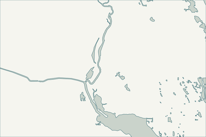
Get to know your waterfront
The Westmoreland Boulevard corridor is Port St. Lucie’s main public riverfront on the North Fork. Pioneer Park’s boardwalk runs about 3,300 feet under the Port St. Lucie Boulevard bridge, and the Port District boardwalk runs about 4,300 feet from Tom Hooper Park to the boat ramps at Veterans Park at Rivergate. Private riverfront and canal lots in River Point and Rivergate sit beside them.
Pioneer Park · The Boardwalk at The Port District · St. Lucie County Subdivisions layer
Wakes, surge and public neighbors
City Ordinance 24-83 sets idle speed/no wake zones 500 feet north and south of The Port District canoe and kayak launch and within 300 feet of the Veterans Park at Rivergate boat ramp, plus slow speed zones near the SR-716 bridge. It also treats a wave over 12 inches in a no-wake zone as evidence of a damaging wake, naming damage to docks and seawalls.
The Port District boardwalk reopened in August 2025 after repairs from Hurricane Milton. If your wall adjoins public land or a boardwalk, ask the city which records describe the public structure before designing your tie-in. Ordinance 24-83, Creating Chapter 101, Waterways, Article I, Boating Safety · Ordinance 24-83 · Boardwalk at The Port District completed connecting Rivergate Park to St. Lucie River (Gianna Montesano, Aug. 14, 2025)
What could the work cost?
Ask for allowances for working beside public parkland, wake-related toe protection and preserve requirements. The city’s 2019 Riverwalk boardwalk contract ($1,946,656.45) is a public project, not a private wall price.
Published examples are attributed context from Treasure Coast and nearby South Florida sources, not a Port St. Lucie average or a quote. Your wall needs a property-specific written scope.
Compare quotes and plan a budget →Find the relevant permits and records
| Starting point | What to resolve | Prepare and look up |
|---|---|---|
Port St. Lucie Building Department | City permit for the seawall (permit type SWL), dock (DK) or boat lift (BL). | Sealed plans, plot plan with setbacks and Notice of Commencement for work of $5,000 or more. 772-871-5132. |
FDEP, Army Corps and SFWMD | State exemption or permit, federal authorization and water-management approval the city asks to see. | Show the new wall face relative to the old one (18-inch rule). FDEP Southeast District: 561-681-6600. |
FDEP state lands (aquatic preserve) | Consent to use state-owned bottom land in the North Fork St. Lucie Aquatic Preserve. | Ask whether the wall moves more than one foot waterward; preserve dock standards apply. |
A riverfront checklist for Westmoreland and Rivergate
Use these steps to gather records and prepare a property-specific conversation. Public records and project references do not describe the condition of your wall.
Pull the permit history
Search the address on the city or county permit portal for seawall, dock and lift permits and their final inspections before the first site visit.
Log damaging wakes
Record date, time and vessel when large wakes hit the wall in a no-wake zone; the city code names seawall damage.
Ordinance 24-83, Creating Chapter 101, Waterways, Article I, Boating Safety
Find the public-land boundary
Overlay your survey with the park or boardwalk parcel and ask how the public structure ties in.
Ask about submerged lands
The Riverwalk boardwalk needed a state sovereignty submerged lands lease; private work waterward of mean high water may need state consent too.
Legistar matter 2019-542: Award Contract #20190070 for the Construction of the New Riverwalk Boardwalk – Phase I · Fla. Admin. Code R. 18-21.005 - Forms of Authorization
Get help with your Westmoreland & Port District seawall
Tell us what has changed and how to reach you. We’ll help you work out the next step; photos and measurements can follow later.
Westmoreland & Port District project questions
Is the North Fork here an aquatic preserve?
Yes. The North Fork St. Lucie Aquatic Preserve runs about 16 miles from Midway Road in White City south to the Stuart–Palm City line.
Who permits a dock here?
The Port St. Lucie Building Department, after state and federal approvals. Docks on waterways 100 feet or wider are limited to reaching −4 ft depth, with caps of 100 feet or 40 feet/20% of width.
Exhibit 'C' – Section 158.217 (attachment to P26-020 / Ordinance 26-38) · § 158.217 Accessory Uses and Structures
Keep planning
Nearby waterfront guides
Canal Pointe & Kingsway, Sandpiper Bay, Riverview, River Park
Show sourcesHide sources
- Pioneer ParkSource reviewed 2026-10-25
- The Boardwalk at The Port DistrictSource reviewed 2026-10-25
- St. Lucie County Subdivisions layerSource reviewed 2026-10-25
- Ordinance 24-83, Creating Chapter 101, Waterways, Article I, Boating SafetySource reviewed 2026-10-25
- Boardwalk at The Port District completed connecting Rivergate Park to St. Lucie River (Gianna Montesano, Aug. 14, 2025)Source reviewed 2026-10-25
- Building DepartmentSource reviewed 2026-10-25
- Permit Type Codes (permittypebytypecode.pdf)Source reviewed 2026-10-25
- Building Department Checklist for Dock PermitsSource reviewed 2026-10-25
- Florida Statutes s. 403.813 - Permits issued at district centers; exceptionsSource reviewed 2026-10-25
- Southeast DistrictSource reviewed 2026-10-25
- North Fork, St. Lucie Aquatic PreserveSource reviewed 2026-10-25
- Fla. Admin. Code R. 18-20.004 - Management Policies, Standards, and CriteriaSource reviewed 2026-10-25
- Legistar matter 2019-542: Award Contract #20190070 for the Construction of the New Riverwalk Boardwalk – Phase ISource reviewed 2026-10-25
- Fla. Admin. Code R. 18-21.005 - Forms of AuthorizationSource reviewed 2026-10-25
- Exhibit 'C' – Section 158.217 (attachment to P26-020 / Ordinance 26-38)Source reviewed 2026-10-25